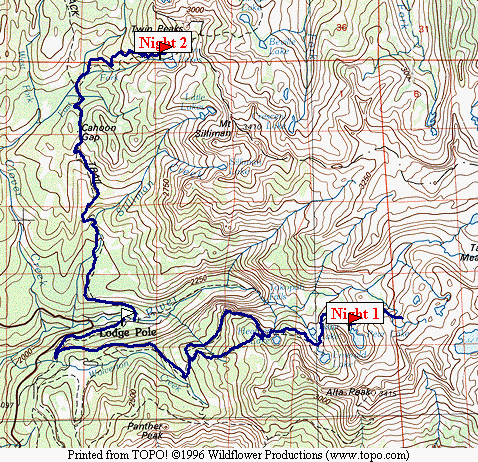
Map 1 -- Lodgepole Segment
You can download the TOPO! source file to see more detail in the maps.
Map 1 -- Lodgepole Segment
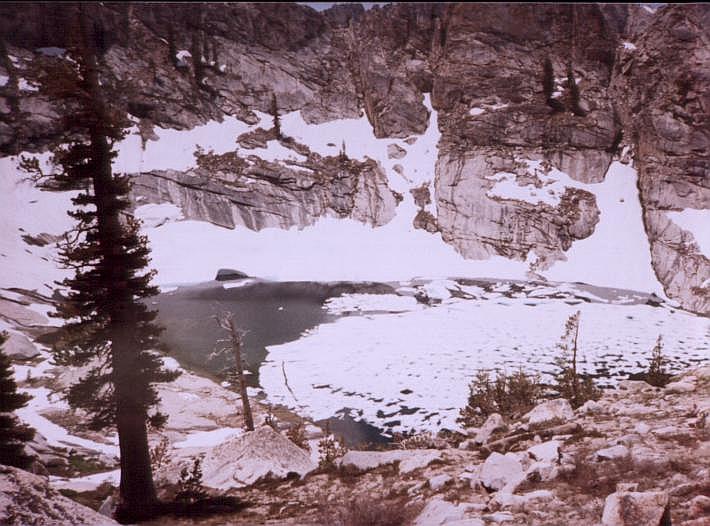
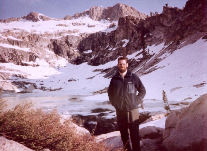
Note: these pictures were scanned from prints. The color varies greatly, and tends to the purple. I need to find a better way to correct them.
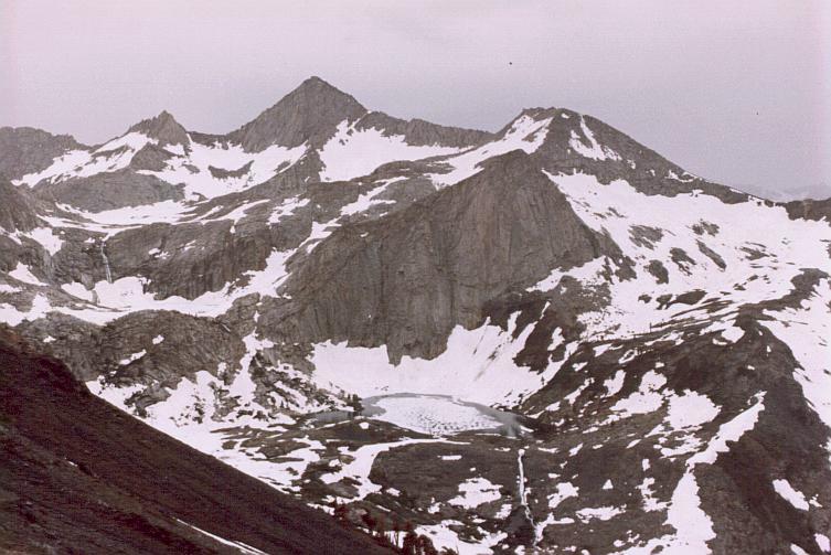
| Pear Lake El Nino Year Very heavy Snow . |
 |
 . . |
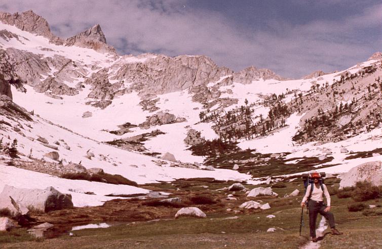
Pear Lake Tablelands was almost completely snow-covered. |
Revised trip. Descended to Lodgepole and headed for Silliman Pass.
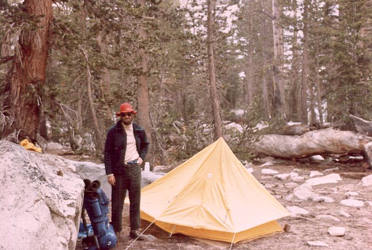
Bear raid; return to town; join up with father.
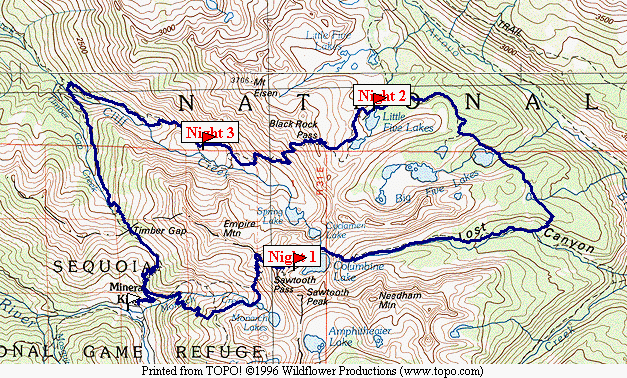
Map 2 -- Mineral King Segment
| .Mineral King from Sawtooth Pass trail. | 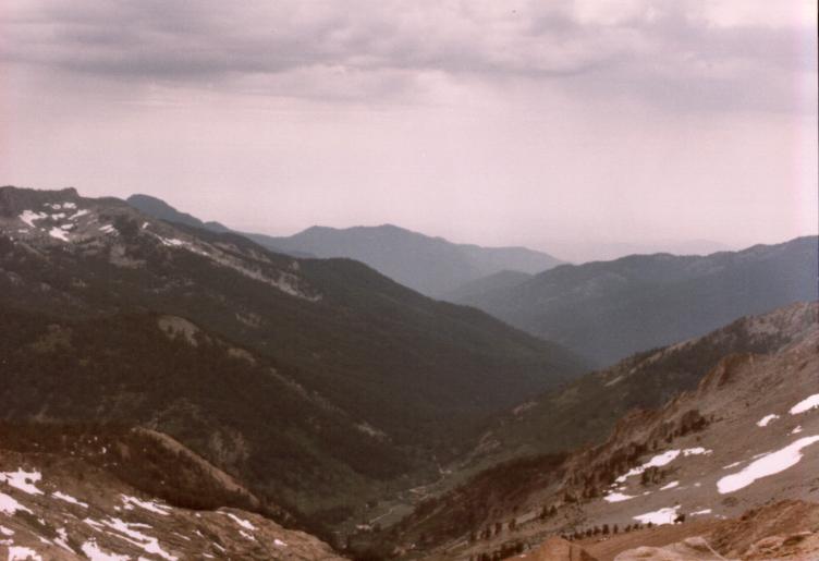 |
 . . |
Sawtooth Pass trail. Still lots of snow. |
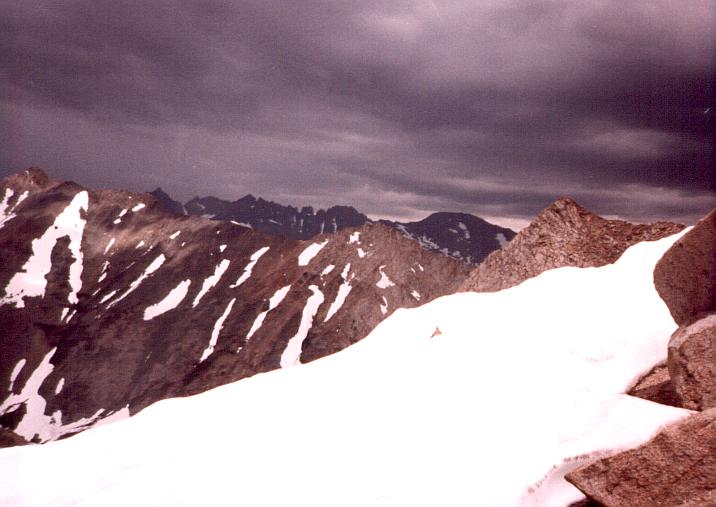
| .Near Sawtooth Pass. Signs of trail are intermittent. Storm clouds everywhere. |
 |
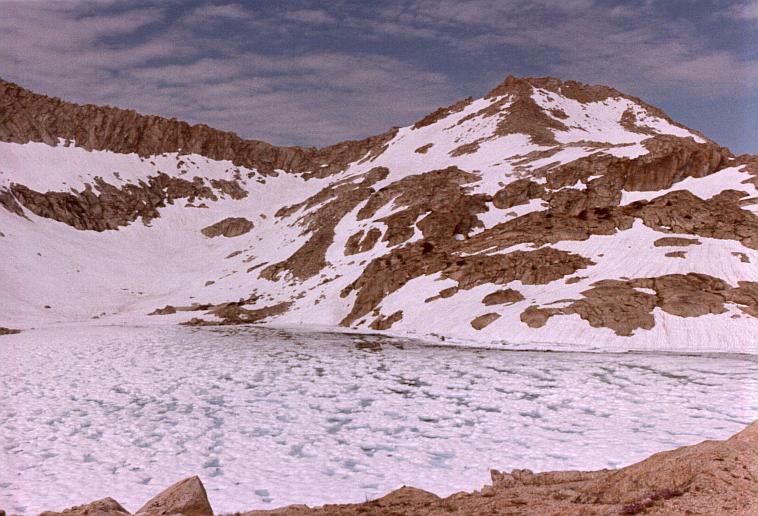 . . |
Columbine Lake Camped near here. |
| .Lost Canyon Sawtooth Pass hidden behind ridgeline. |
 |
 . . |
Rain delay near Five Lakes. Moved on after shower, camped near one of the lakes. |
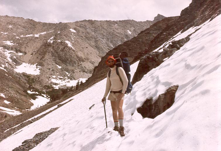
| .Me and my father near Black Rock Pass trail. | 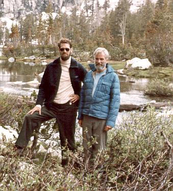 |
 . . |
East of Black Rock Pass. |
Camped near Pinto Lake.
| .Cliff Creek crossing. | 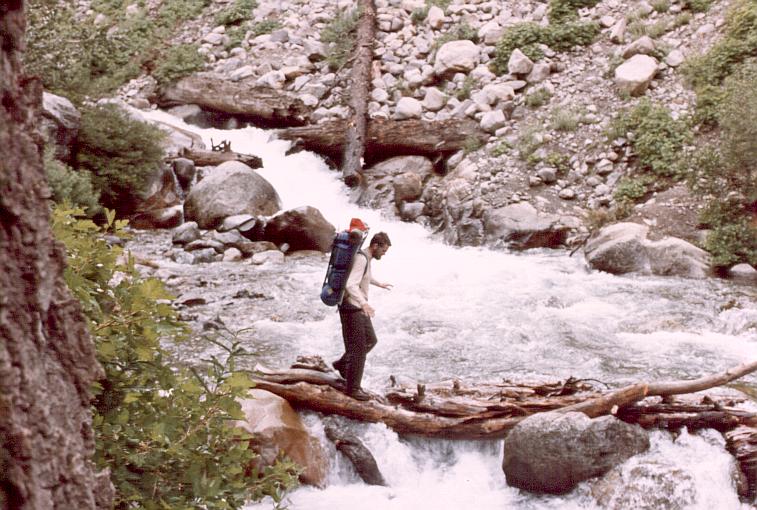 |